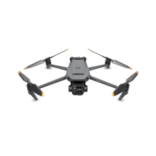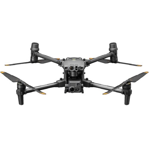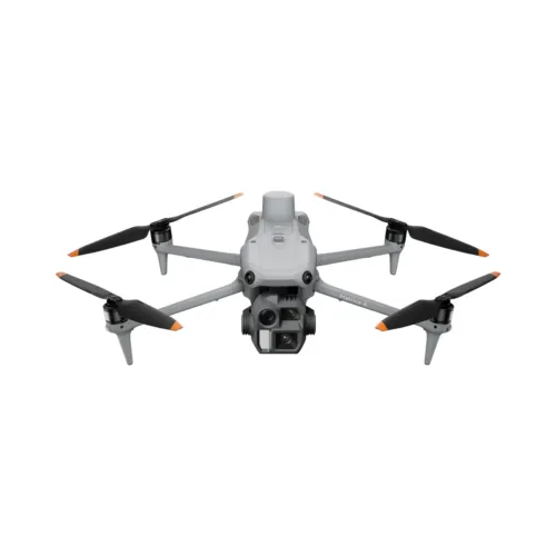
DJI Matrice 4D
SKU
The DJI Matrice 4D delivers fast, accurate photogrammetry for land surveying, mapping, and construction projects. With precise positioning, long endurance, and an IP-rated weather-resistant design, it reliably captures detailed imagery for high-quality 2D and 3D site models. Ideal for topographic mapping, progress tracking, and measurement workflows, the M4D streamlines field operations while delivering dependable, survey-grade results.
Additional Information
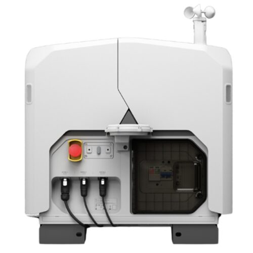
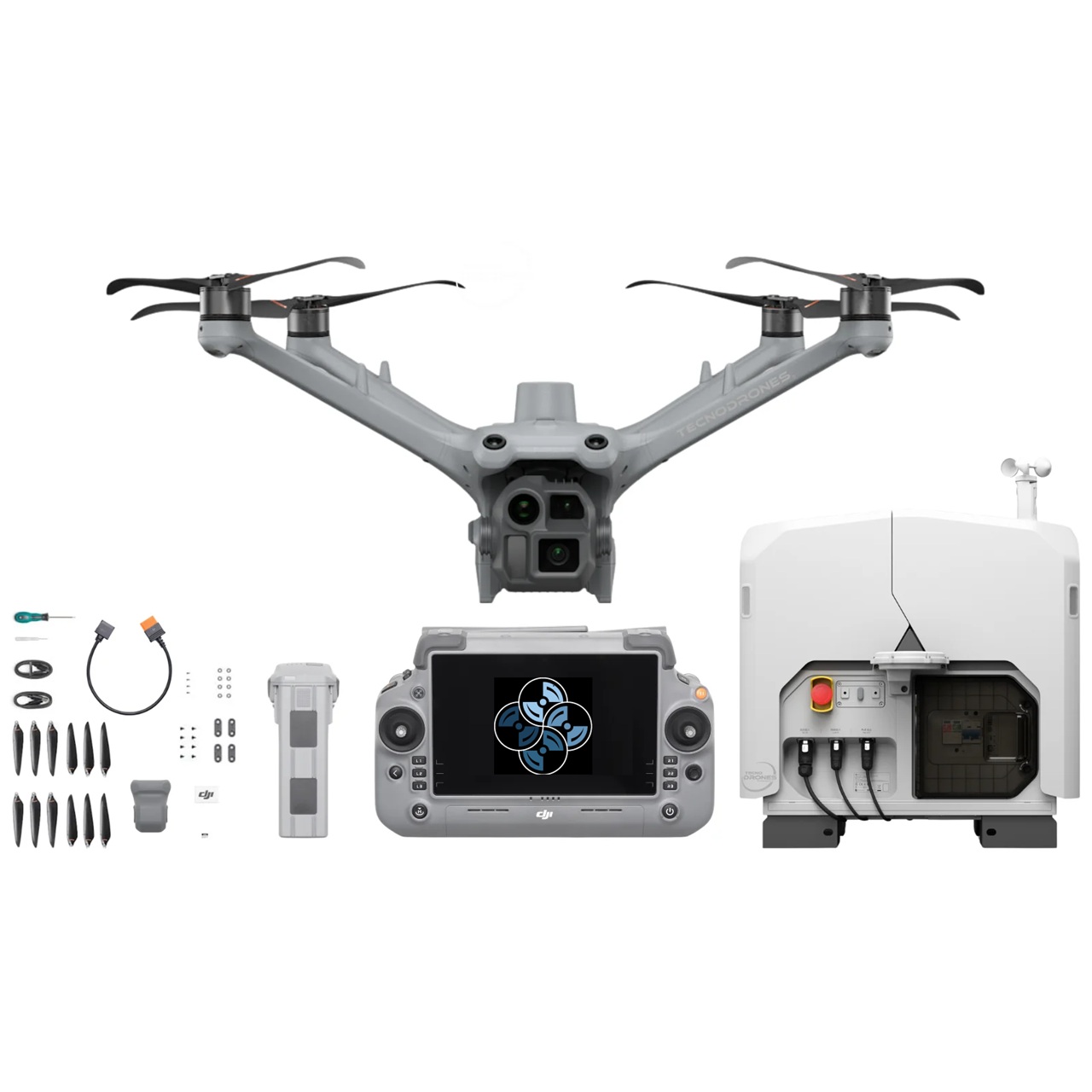
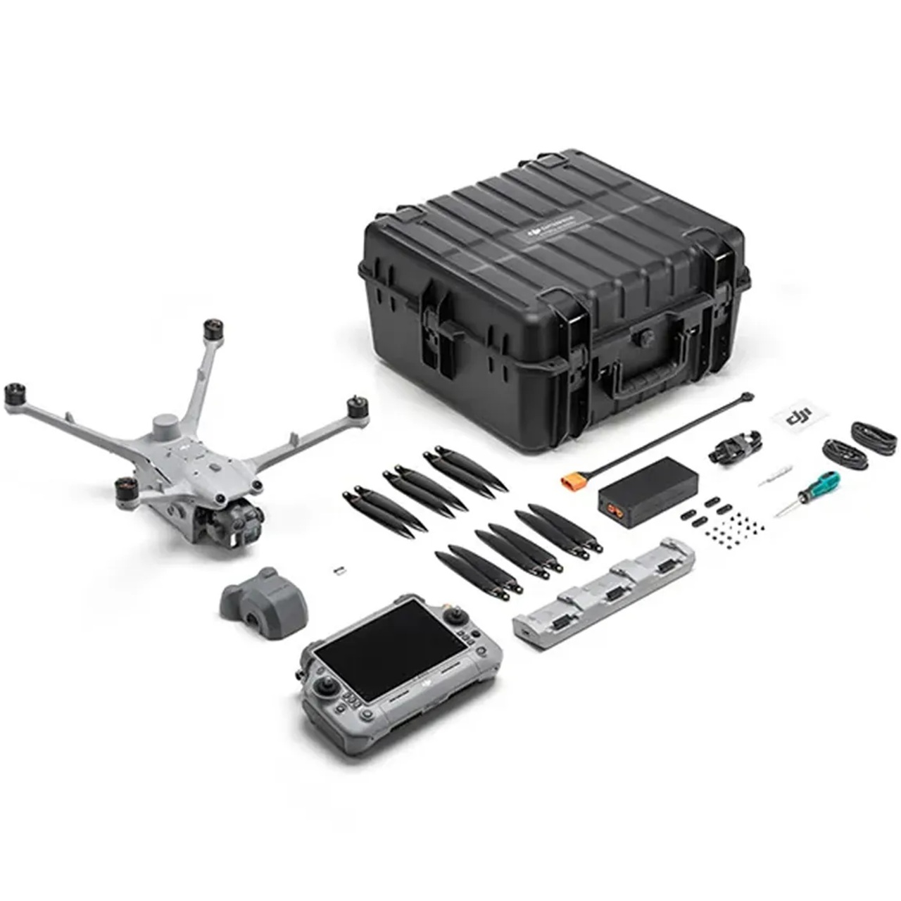
| What's in the Box (Kit) | DJI Matrice 4D Aircraft |
|---|---|
| What's in the Box (Drone Only) | DJI Matrice 4D Aircraft |
Description
The Next-Generation Enterprise Drone
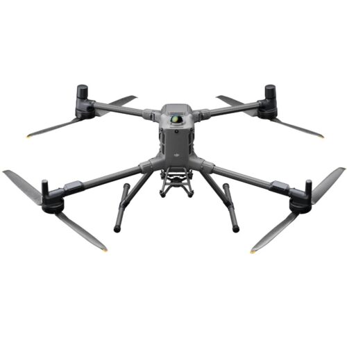
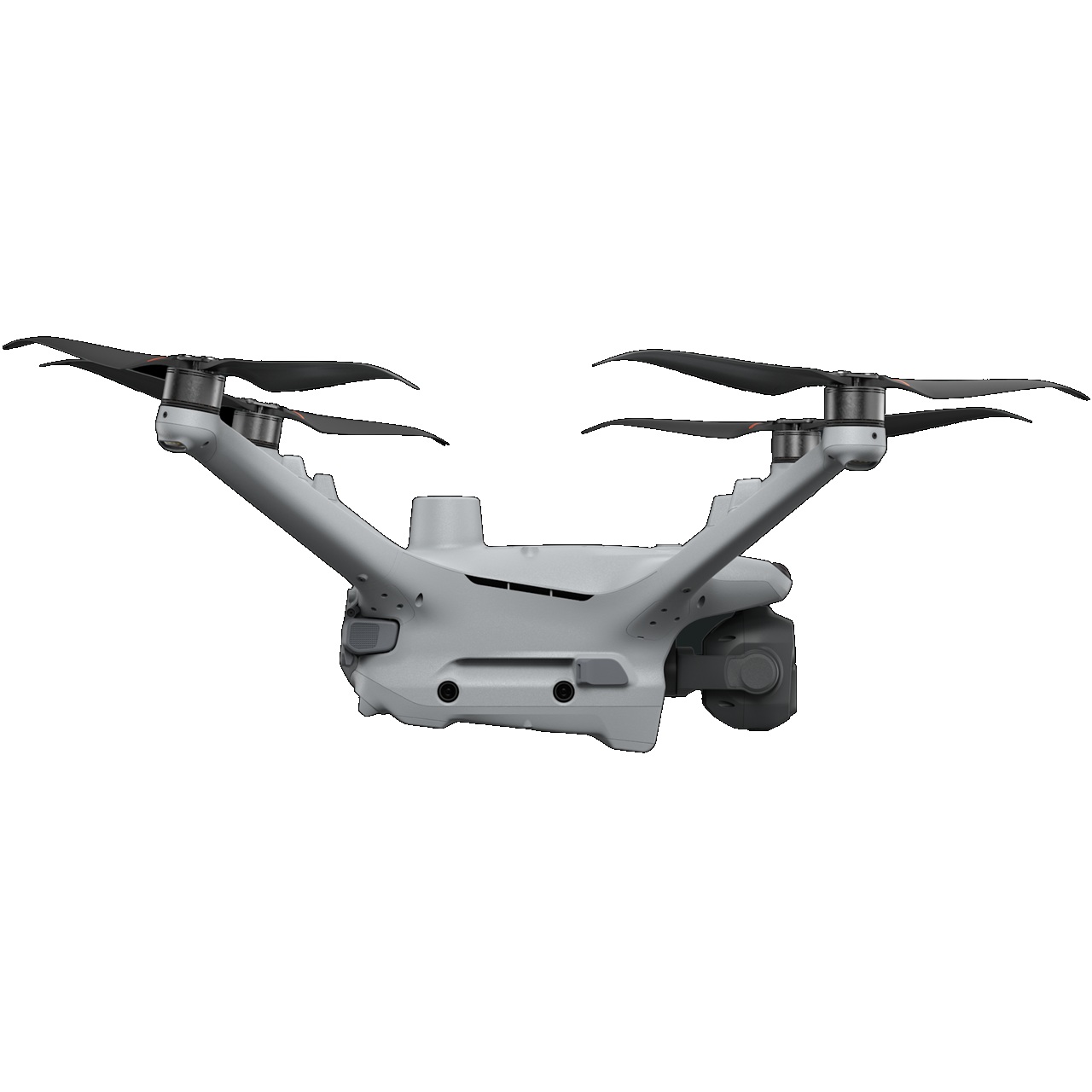
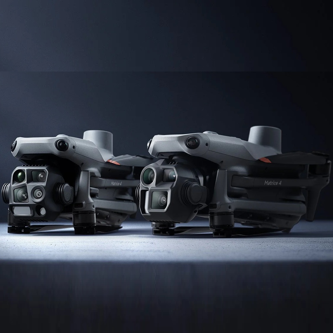
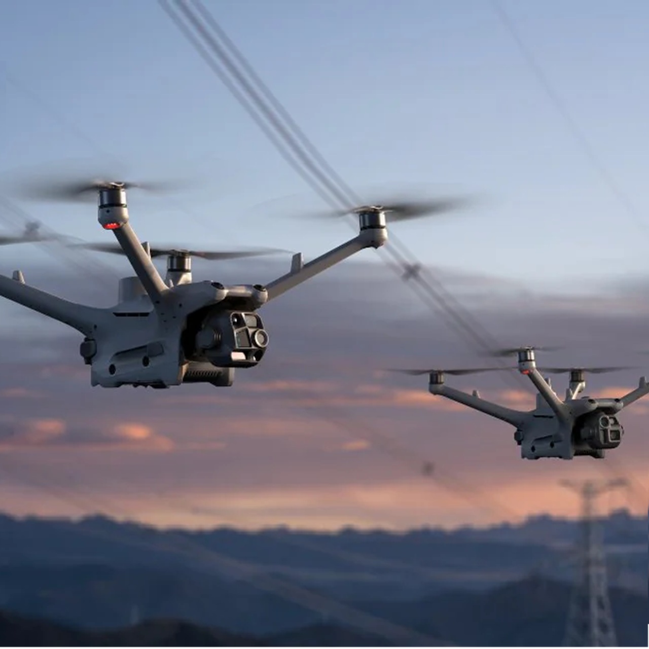
The DJI Matrice 4D is a next-generation enterprise drone engineered for professionals who need dependable, survey-grade photogrammetry and aerial imaging across land surveying, mapping, and construction environments. Built on DJI’s advanced M4 platform, the Matrice 4D combines long flight endurance, high-precision positioning, and enhanced imaging capabilities to deliver accurate data capture on every mission. Its rugged, IP-rated design allows teams to operate confidently in demanding weather conditions, ensuring consistent performance on active construction sites, remote survey areas, and variable terrain. For organizations seeking reliable, repeatable results, the Matrice 4D sets a strong benchmark for productivity and operational efficiency.
Advanced Obstacle Sensing
One of the standout features of the DJI Matrice 4D is its upgraded obstacle sensing system, designed to protect the aircraft from potential hazards while flying low, in tight spaces, or around complex structures. Multi-directional obstacle detection helps the drone identify objects in its flight path and adjust accordingly, reducing risk and improving mission confidence. This is especially valuable during detailed mapping flights near buildings, bridge structures, utilities, or earthwork features where precision and safety matter most. Combined with advanced flight stability, the Matrice 4D offers smooth, predictable handling that supports high-quality photogrammetry results without unnecessary re-flights. For surveyors, engineers, and construction managers, this level of reliability translates directly into time savings and improved field efficiency.
Low Light and Stabilization Technology
The Matrice 4D also excels in low-light and challenging environmental conditions, giving teams the ability to maintain productivity when early morning, late afternoon, or cloud-covered operations are required. Its enhanced imaging system captures sharp, clear visuals even in reduced lighting, ensuring accurate detail extraction for 2D orthomosaics, 3D models, and measurement workflows. For construction progress tracking, site documentation, and pre-dawn or dusk survey missions, the drone’s low-light capability ensures that critical data collection does not need to pause because of variable lighting. Paired with DJI’s robust stabilization technology, the Matrice 4D minimizes motion blur and delivers crisp imagery that supports reliable mapping outputs, whether you are documenting excavation volumes, capturing structural features, or monitoring project timelines.
Precision When You Need It
With its combination of clear vision, stable imaging, and advanced flight intelligence, the DJI Matrice 4D is designed to streamline every stage of the surveying and mapping process. Pilots benefit from predictable performance, simplified mission planning, and consistent data quality across flights. The drone’s stability in the air ensures that overlapping photos remain accurate, supporting more precise photogrammetry models and reducing the chances of misalignment or data gaps. On construction sites, this results in better progress monitoring, improved communication with project stakeholders, and more dependable measurements for estimating, planning, and compliance documentation. For land surveyors, the Matrice 4D offers the ability to cover large areas quickly while maintaining the level of precision required for boundary surveys, topographic mapping, and site development planning.
Overall, the DJI Matrice 4D stands out as a powerful, dependable, and highly capable photogrammetry drone tailored to the needs of surveying, mapping, and construction professionals. Its IP-rated durability, multi-directional obstacle sensing, exceptional low-light imaging, and advanced stabilization make it a trustworthy tool for capturing accurate site data across a wide range of operating conditions. Whether you are conducting topographic surveys, documenting construction progress, performing pre-design mapping, or creating detailed 3D site models, the Matrice 4D delivers consistent results that help teams work faster, safer, and with greater confidence. For organizations looking to elevate their aerial data workflows, the DJI Matrice 4D offers a proven, high-performance solution built for today’s most demanding field operations.
Key Features
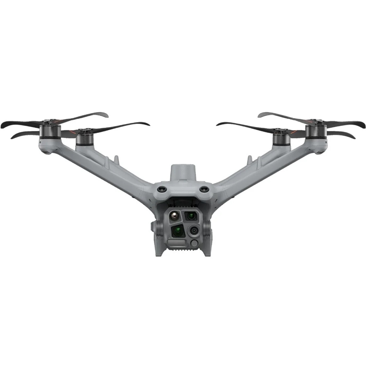
Wide-Angle Camera
4/3 CMOS, 20MP Effective Pixels , f/2.8-f/11, Format Equivalent: 24 mm, Mechanical Shutter
Medium Tele Camera
1/1.3″ CMOS, 48MP Effective Pixels, f/2.8, Format Equivalent: 70 mm
Tele Camera
1/1.5″ CMOS, 48MP Effective Pixels, f/2.8, Format Equivalent: 168 mm
Laser Range Finder
Measurement Range: 1800 m (1 Hz); Oblique Incidence Range (1:5 Oblique Distance): 600 m (1 Hz) Blind Zone: 1 m; Range Accuracy (m): ± (0.2 + 0.0015 × D)