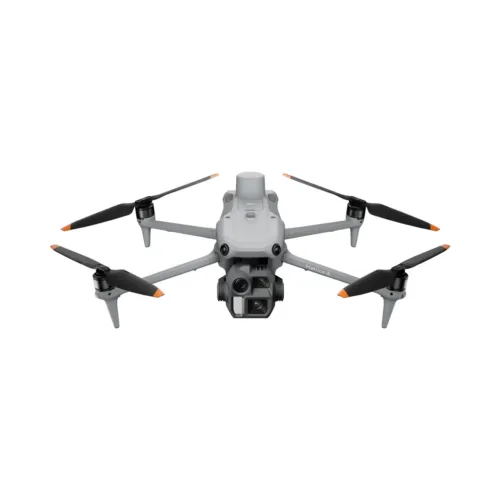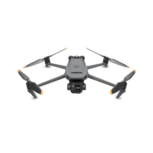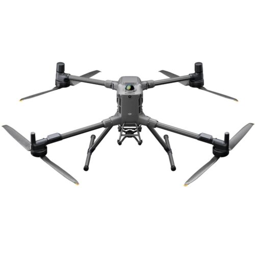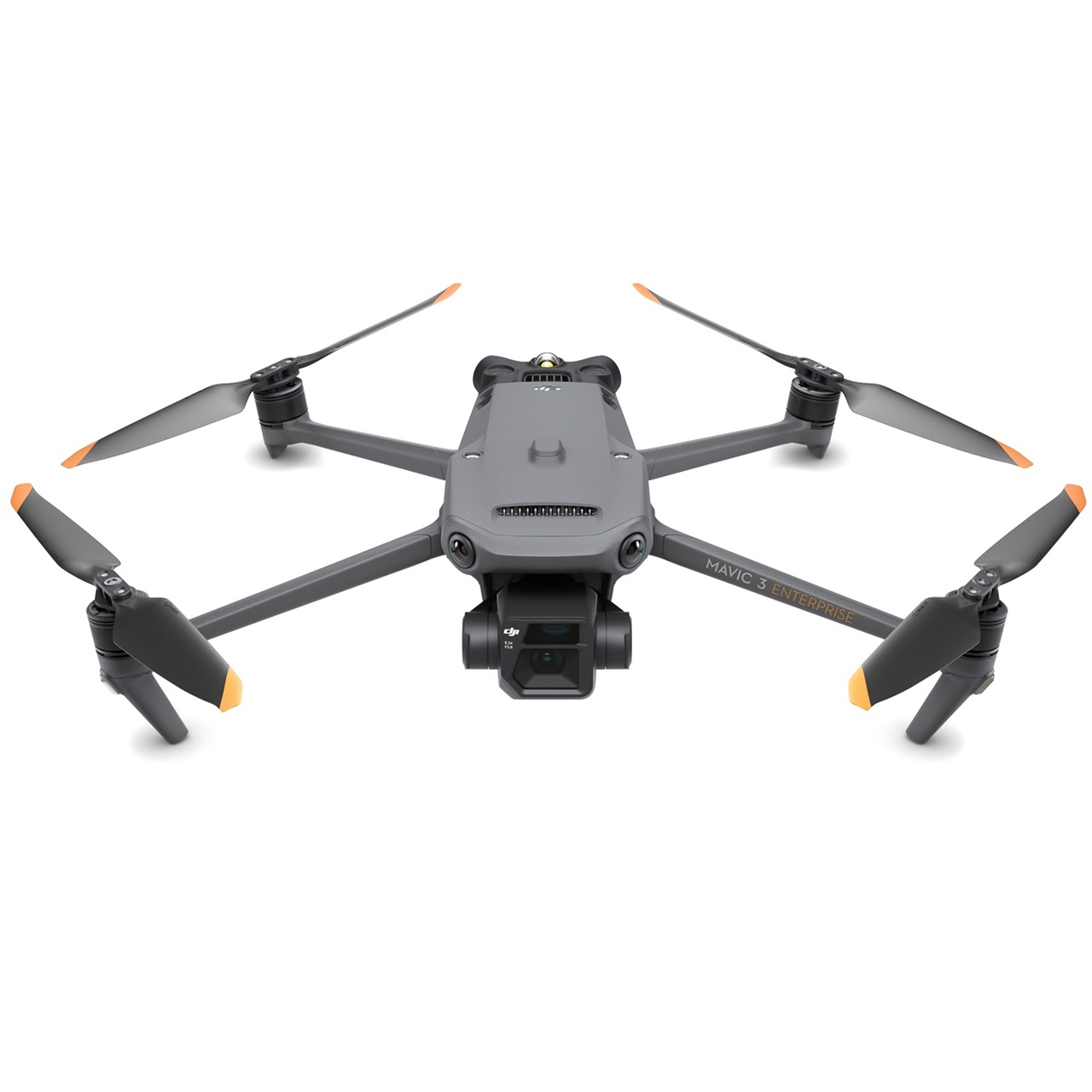
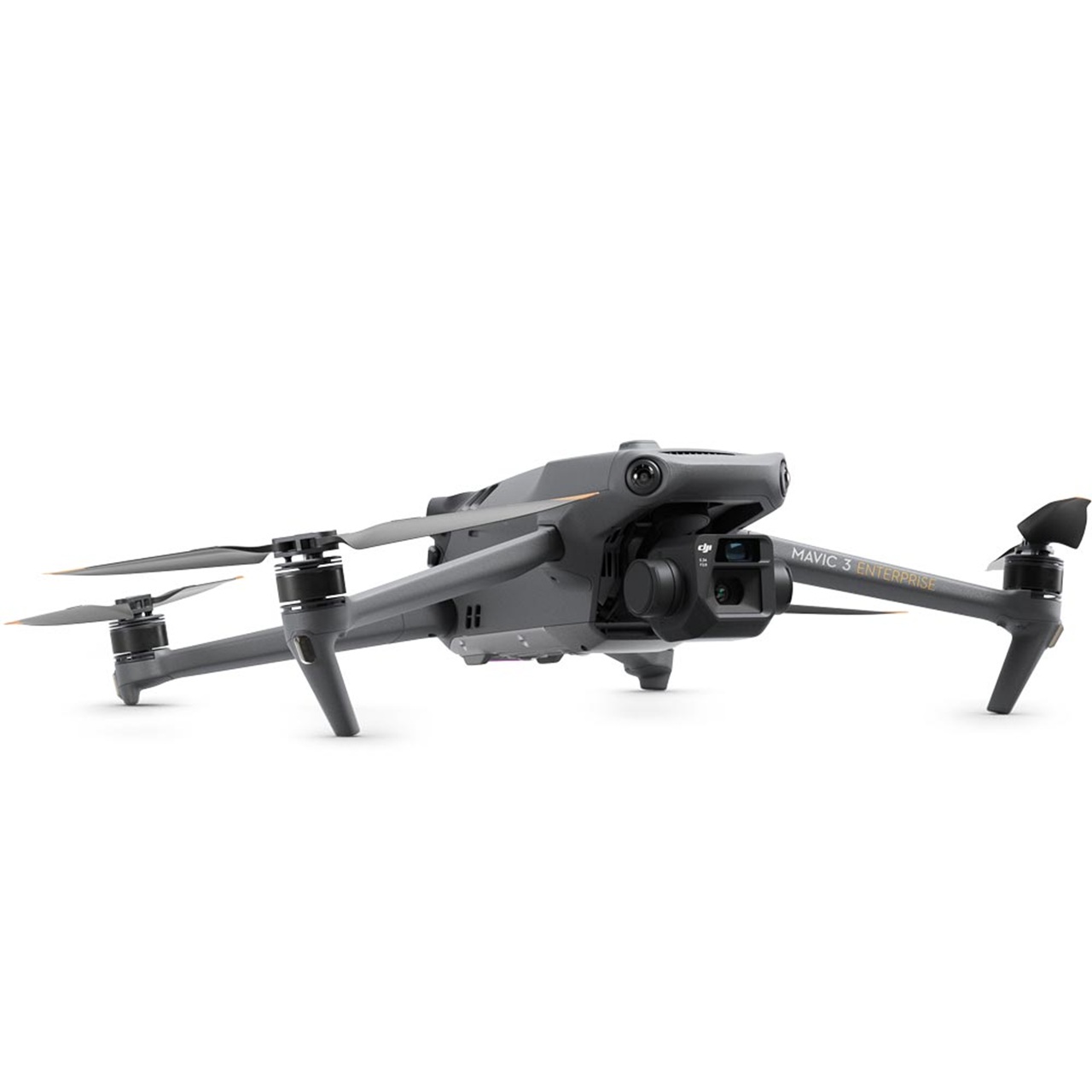
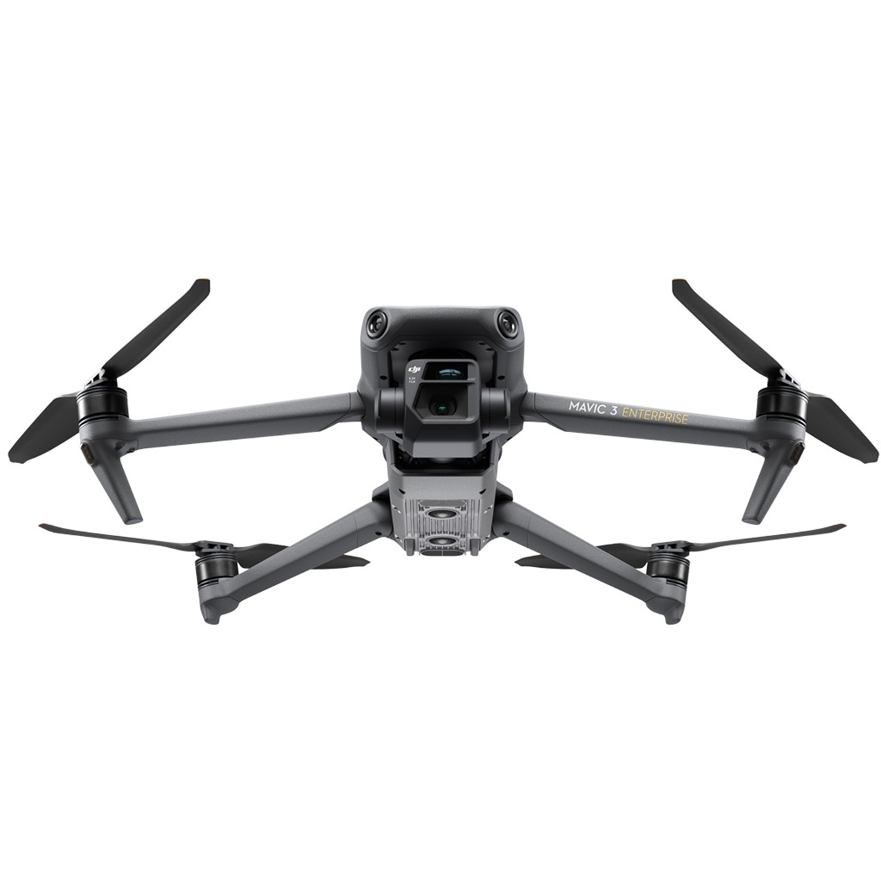

Mavic 3 Enterprise
SKU
Available on backorder
This compact enterprise drone delivers survey-grade accuracy and efficient aerial data capture for land surveying, construction, and mapping professionals. With a mechanical shutter, RTK support, and long flight endurance, it enables fast deployment and reliable results across demanding job sites.
Additional Information
| What's in the box | DJI Mavic 3 Enterprise Drone |
|---|
Description
Enterprise Drone Solution for Surveying, Construction, and Mapping
This compact enterprise drone is designed for professionals who need rapid deployment, dependable accuracy, and efficient data collection in demanding field environments. Built to support land surveying, construction documentation, and mapping workflows, it delivers high-level performance in a portable platform that reduces time on site while improving data quality.
Precision Aerial Data for Land Surveying
Surveying professionals require consistent, repeatable accuracy on every flight. This system is equipped with a 4/3 CMOS 20-megapixel sensor and a mechanical shutter, allowing distortion-free image capture during high-speed mapping missions.
Survey-Grade Accuracy with RTK Support
When paired with RTK capability, centimeter-level positioning accuracy can be achieved with fewer ground control points. This reduces field time while maintaining survey-grade results for boundary surveys, topographic mapping, and volumetric calculations. The result is a streamlined workflow that integrates easily into standard photogrammetry and GIS software.
Construction Site Documentation and Progress Tracking
Construction teams benefit from an aerial platform that supports frequent, repeatable site capture. Fast setup and automated flight planning make it practical to document job sites throughout all phases of a project.
Improved Visibility and Project Control
High-resolution aerial imagery enables accurate progress tracking, cut and fill analysis, and stockpile measurements. Regular data collection helps identify potential issues early, reduce rework, and improve collaboration between project managers, superintendents, and stakeholders. By limiting the need for manual site walks, overall safety is also enhanced.
Efficient Mapping in a Portable Platform
Despite its compact form factor, this enterprise drone is capable of covering large areas efficiently. Extended flight time allows operators to complete mapping missions with fewer battery changes, increasing productivity in the field.
Intelligent Flight and Data Collection
Automated grid and waypoint missions support consistent data capture across multiple sites. Advanced obstacle sensing improves operational safety in complex environments, while intelligent flight features help ensure reliable results on every mission. The collected data is well suited for both 2D orthomosaics and 3D modeling deliverables.
A Practical Choice for Professional Operations
This enterprise-grade aerial solution delivers a strong balance of accuracy, portability, and ease of use. It is well suited for organizations seeking reliable aerial data for surveying, construction, and mapping applications without the complexity or cost of larger aircraft systems.
By combining precise imaging, intelligent flight tools, and efficient workflows, it enables professionals to capture actionable data with confidence and consistency.