DJI Mavic 3 Series
SKU
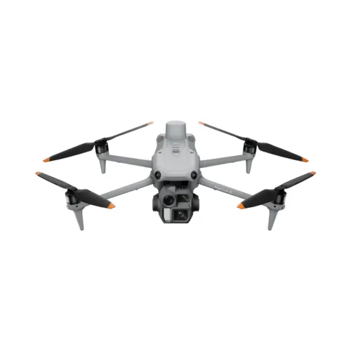
Capture critical data with the DJI Mavic 3 Enterprise and Mavic 3 Thermal Advanced, built for inspections, mapping, and public safety missions. These drones combine high-resolution visual and thermal imaging, intelligent obstacle sensing, and long flight times for fast, reliable, mission-ready results.
Additional Information
| Quick Specs | 47 mph Max Horizontal Speed |
|---|---|
| Video |

Description
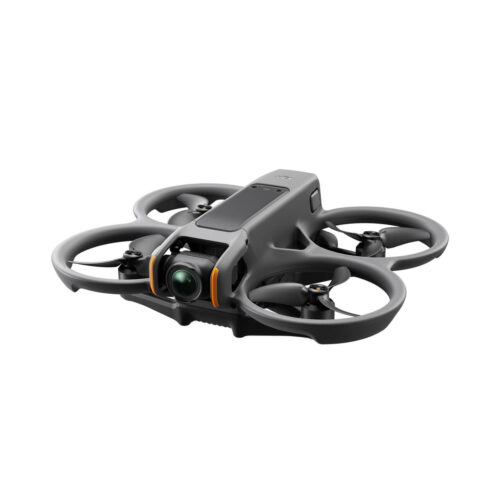
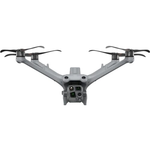
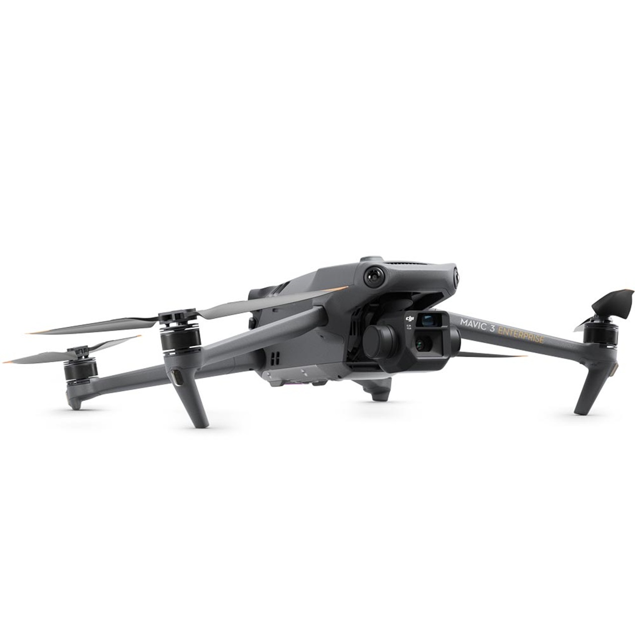
DJI M3E & M3T Advanced
Professional Drones for Inspection, Mapping, and Public Safety
The DJI Mavic 3 Enterprise and Mavic 3 Thermal Advanced are advanced enterprise drones built for professionals who need reliable, high-resolution aerial intelligence for industrial inspections, mapping, surveying, public safety, and emergency response. Compact, foldable, and highly portable, these drones combine long flight times, intelligent flight features, and advanced imaging systems to provide actionable data for mission-critical operations. Whether performing detailed inspections, capturing accurate 2D and 3D maps, or conducting thermal assessments, these platforms offer efficient, safe, and dependable solutions for professionals across multiple industries.
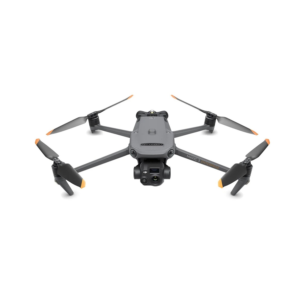
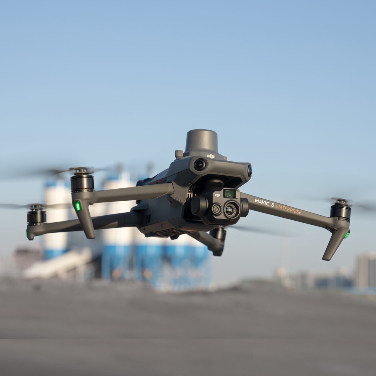
High-Resolution Imaging & Industrial Inspections
The Mavic 3 Enterprise delivers exceptional visual imaging for industrial inspections, surveying, and mapping workflows. With precise positioning and long endurance, it enables teams to capture detailed 2D and 3D site models quickly and accurately. Multi-directional obstacle sensing ensures safe navigation around complex structures, while intelligent flight modes allow automated missions and repeatable results.
Utility inspectors, construction managers, and survey teams rely on this drone to reduce field time, minimize re-flights, and generate accurate reports for compliance and operational efficiency. It is particularly effective for inspecting solar farms, wind turbines, and electrical infrastructure, while its compact design allows rapid deployment in hard-to-reach areas without sacrificing performance or image quality.
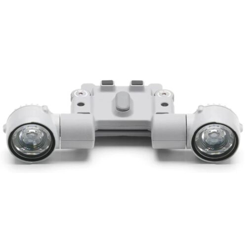
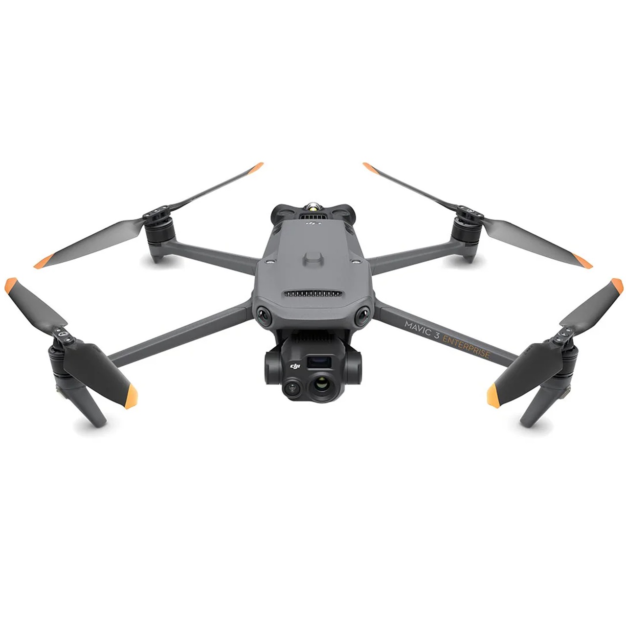
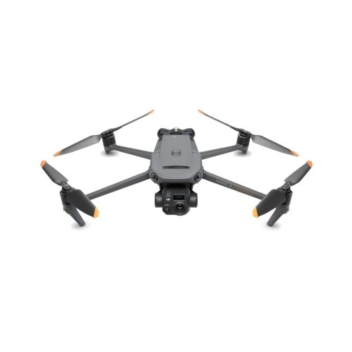
Precision Thermal Imaging for Public Safety & Emergency Response
The Mavic 3 Thermal Advanced combines high-resolution thermal imaging with a visual camera to provide dual-spectrum intelligence for critical operations. This drone enables professionals to detect heat signatures for emergency response, search-and-rescue missions, and industrial inspections. Thermal sensors quickly highlight anomalies in electrical systems, solar panels, wind turbines, and industrial equipment, while visual imaging ensures comprehensive documentation for analysis and reporting.
Public safety teams benefit from real-time situational awareness during high-pressure missions. Firefighters, police units, and search-and-rescue operators can locate people in low-light, smoke-filled, or hazardous environments with confidence. Intelligent obstacle avoidance and stable flight allow these drones to operate safely in challenging conditions, while the dual-camera system ensures thermal and visual data are captured simultaneously for actionable insights.
Intelligent Flight Features & Obstacle Sensing
Both drones feature multi-directional obstacle sensing and advanced flight intelligence, providing safe and efficient operations even in complex environments. Intelligent flight modes, including automated mapping, waypoint missions, and tracking, simplify professional workflows while maintaining high-quality data capture. This combination of stability, precision, and intelligent navigation ensures consistent, reliable results across industrial, renewable energy, and public safety missions.
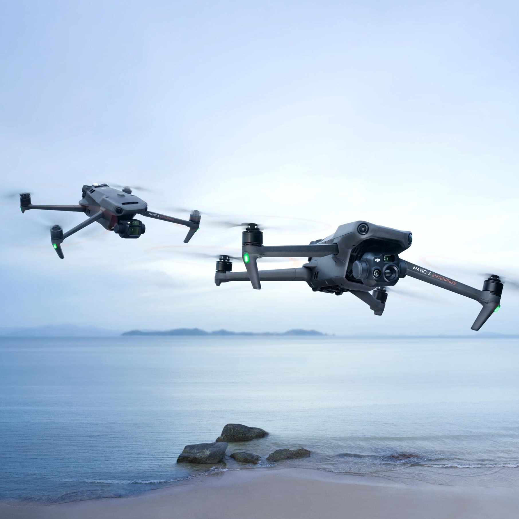
Compact, Portable, and Mission-Ready
These enterprise drones combine portability, long flight endurance, and professional imaging to deliver unmatched versatility. Teams can conduct inspections faster, improve data accuracy, and streamline reporting. Whether capturing high-resolution visual data for industrial inspections, mapping, and surveying, or leveraging thermal intelligence for emergency response and public safety operations, these platforms provide mission-ready solutions that deliver speed, reliability, and actionable insights in every flight.