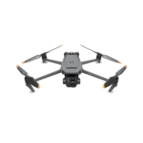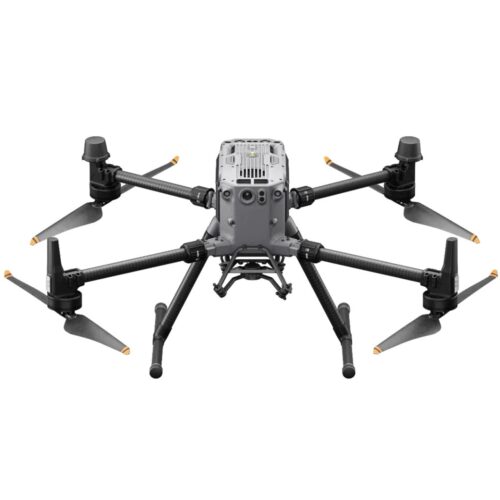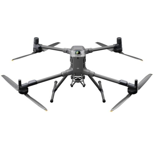
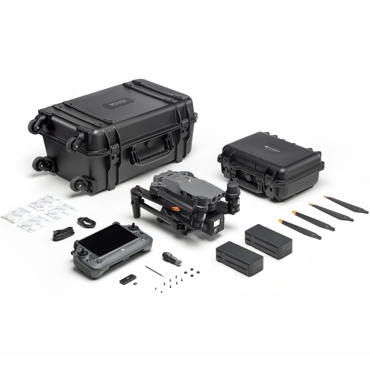


Matrice 30 Series
SKU
The DJI Matrice 30 Series includes the M30T for public safety and industrial inspections with thermal and visual imaging, and the M30 for surveying and construction, delivering high-resolution visual data, AI-assisted flight, and IP55 weather resistance for reliable performance in challenging environments.
Additional Information
| Quick Specs | Wide-Angle & Zoom Camera System |
|---|---|
| Video |
Description
DJI Matrice 30 Series
Advanced Enterprise Drone Solutions
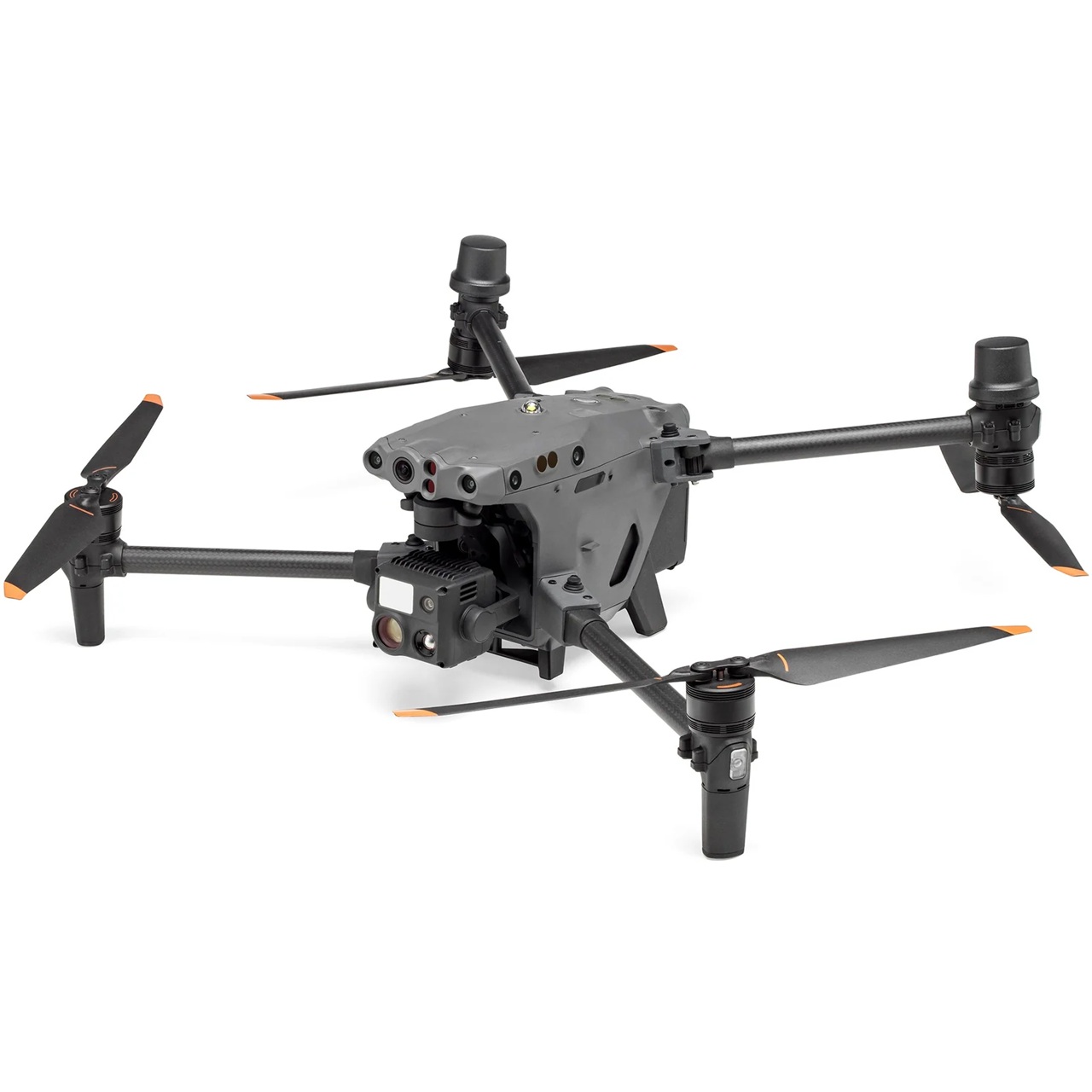
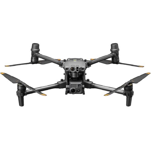
The DJI Matrice 30 Series represents the next generation of high-performance enterprise drones, engineered to deliver unmatched versatility, intelligence, and reliability. Among the lineup, the M30T stands out as a powerful all-in-one platform for professionals who require advanced thermal imaging, precise visual data, and seamless deployment in demanding operational environments.
Designed for industries including utilities, construction, renewable energy, surveying, and public safety, the series combines intelligent flight modes, advanced payload options, and superior environmental resilience, enabling organizations to gather actionable aerial data with confidence in even the harshest conditions.
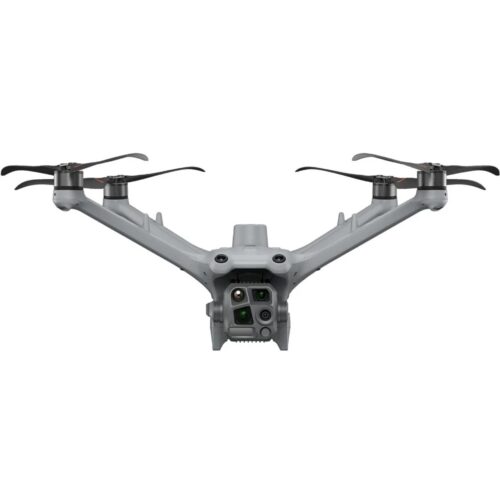
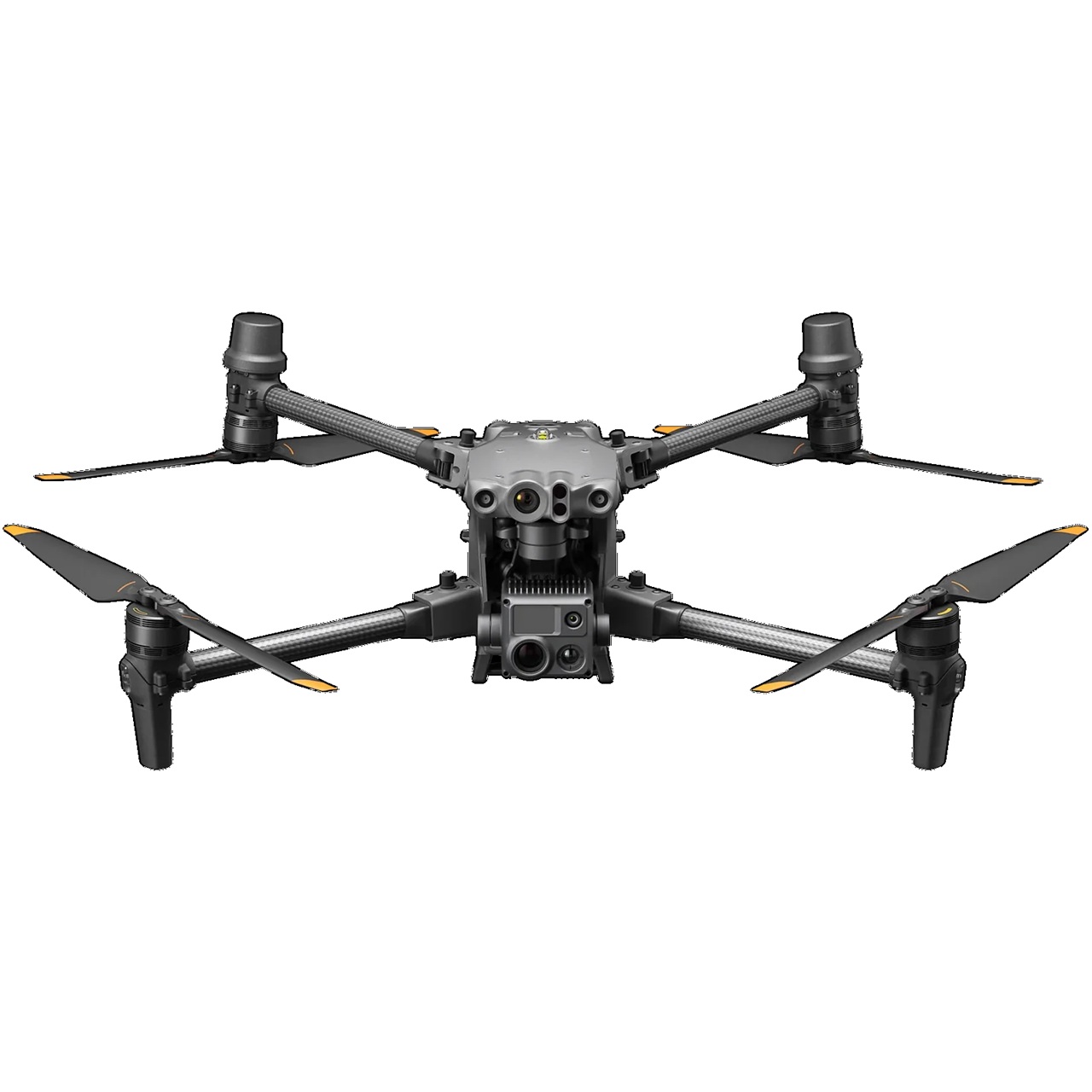
DJI M30T: Thermal and Visual Precision in Any Weather
The M30T integrates a redesigned dual-sensor payload, combining high-resolution optical imaging with next-generation thermal capabilities. This allows operators to detect heat anomalies, inspect infrastructure, and capture precise geospatial data with exceptional clarity—regardless of wind or weather.
Key Upgrades and Features of the M30T
-
Redesigned thermal camera: Enhanced sensitivity and improved image processing deliver sharper thermal imagery, revealing subtle temperature variations.
-
High-resolution visual camera: Ultra-clear detail for inspections, mapping, and documentation.
-
Laser range finder: Supports precise distance measurement for surveying, volumetric calculations, and operational safety.
-
Enhanced AI capabilities: Supports automated target tracking, waypoint missions, and object recognition.
-
IP55-rated weather resistance: Operates reliably in rain, dust, and challenging environmental conditions.
-
High wind tolerance: Maintains stability and performance in adverse wind conditions, ensuring consistent data capture.
The M30T is particularly valuable for utility inspections, allowing teams to monitor power lines, substations, and transformers safely. Thermal anomalies, such as overheating connections or imbalanced loads, can be identified quickly, reducing downtime and improving maintenance efficiency.
Surveying and Mapping Excellence
Beyond inspections, the Matrice 30 Series is engineered for professional surveying and mapping applications. Equipped with precise GPS positioning, laser range-finding, and high-resolution imaging, it allows surveyors and construction teams to generate accurate topographic maps, 3D models, and volumetric measurements efficiently.
Geospatial Data and Site Analysis
The M30T excels in capturing both thermal and visual data that can be integrated directly into photogrammetry and GIS software. Its AI-assisted flight planning ensures repeatable missions across large sites, producing reliable mapping outputs for:
-
Land surveying and boundary assessments
-
Construction site documentation and progress tracking
-
Earthwork and volumetric calculations
-
3D modeling for urban planning and engineering
By combining thermal and visual datasets, operators gain enhanced situational awareness, allowing teams to identify issues such as subsurface heat leaks, equipment overheating, or environmental anomalies during site surveys.
Renewable Energy Inspections and Public Safety
For solar and wind energy operations, the M30T provides precise thermal and visual data to identify underperforming panels, faulty connections, and blade or nacelle issues without requiring shutdowns or rope-access crews.
Public safety teams benefit from enhanced thermal imaging for search and rescue, fire scene assessment, and situational awareness in low-light or obscured conditions. Real-time streaming and AI tracking allow command teams to respond efficiently to critical incidents.
Intelligent Flight and Reliable Operations
The M30T maintains stable, predictable performance in high wind and challenging weather, with intelligent flight modes including automated returns and obstacle avoidance. Integrated enterprise software supports mission planning, data management, and regulatory compliance, making it a complete solution for enterprise operations.
Why Choose the DJI Matrice 30 Series and M30T
The DJI Matrice 30 Series, led by the M30T, sets a new standard for enterprise drones. Its combination of thermal precision, high-resolution visual imaging, AI automation, all-weather reliability, and geospatial capability makes it ideal for inspections, surveying, mapping, renewable energy, and public safety operations.
Professionals can confidently operate in wind, rain, or dusty conditions, capturing accurate, actionable data to make faster, safer, and more informed decisions on every mission.