-
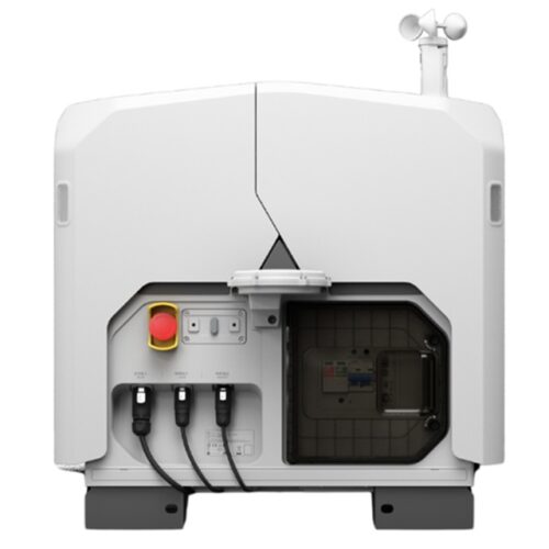
DJI Dock 2 enables automated and remotely piloted drone operations using the Mavic 3D and Mavic 3TD for construction, inspections, and public safety. Designed for fixed-location deployments, it supports software-based flight control, RTK accuracy, and all-weather reliability for continuous aerial operations.
-
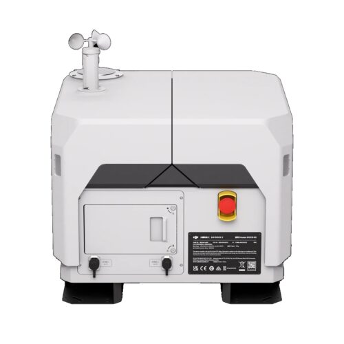
DJI Dock 3 is an autonomous drone-in-a-box solution designed for construction, inspections, and public safety operations. When paired with the Matrice 4D and Matrice 4TD and powered by FlightHub 2, it enables scheduled missions, rapid Drone as First Responder (DFR) deployment, and continuous aerial intelligence without on-site pilots. As a result, teams improve response times, safety, and operational efficiency.
-
The DJI M30T is an enterprise drone designed for public safety and industrial inspections, featuring a redesigned thermal camera, high-resolution visual sensors, and AI-assisted flight. IP55-rated and capable in high winds, it delivers rapid, reliable intelligence for safer and more effective operations.
-
This compact enterprise thermal drone delivers fast, reliable aerial inspections for utilities, solar and wind energy, and public safety operations. With advanced thermal imaging and rapid deployment, it provides critical situational awareness while improving safety and response efficiency.
-
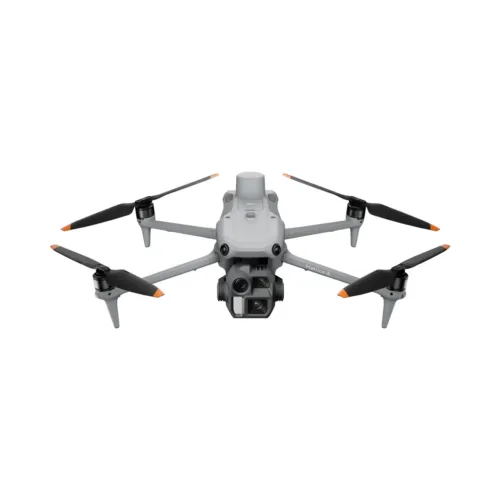
This compact enterprise drone delivers survey-grade accuracy and efficient aerial data capture for land surveying, construction, and mapping professionals. With a mechanical shutter, RTK support, and long flight endurance, it enables fast deployment and reliable results across demanding job sites.
-
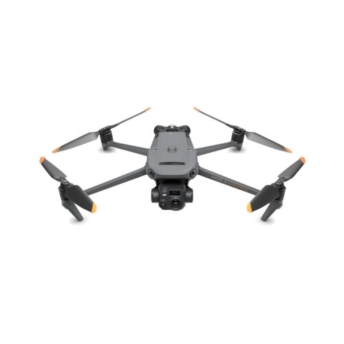
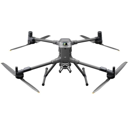
The DJI Matrice 4D delivers fast, accurate photogrammetry for land surveying, mapping, and construction projects. With precise positioning, long endurance, and an IP-rated weather-resistant design, it reliably captures detailed imagery for high-quality 2D and 3D site models. Ideal for topographic mapping, progress tracking, and measurement workflows, the M4D streamlines field operations while delivering dependable, survey-grade results.
-
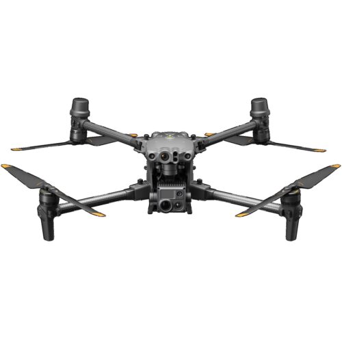
The DJI Matrice T Thermal offers advanced AI, enhanced sensing, and a laser range finder for safer enterprise operations. The M4T targets the inspection and public safety industries. Upgraded accessories boost their capabilities for intelligent aerial tasks.
-
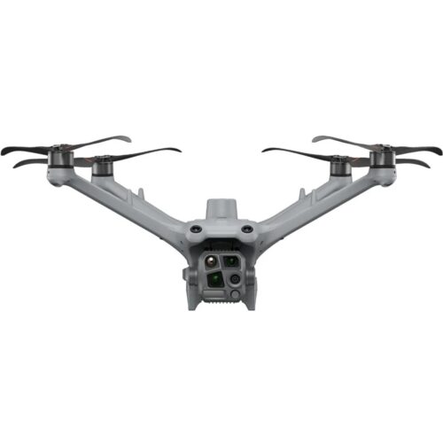
The DJI Matrice 4 Enterprise offers advanced AI, enhanced sensing, and a laser range finder for safer enterprise operations. The 4E targets surveying and construction industries. Upgraded accessories boost their capabilities for intelligent aerial tasks.
Call Us Today! (303) 502-2555 | Hours: Mon – Fri 8am to 5pm

2130 S. Bellaire St
Denver, CO 80222
Phone: 303-502-2555
Email: info@djicolorado.com
Hours of Operation
M-F 8:00AM-5:00PM
Featured Products
-
 DJI Dock
-
 Matrice 4 Series
-
 Matrice 400
$15,000.00
Matrice 400
$15,000.00
Explore
© Copyright 2012 - 2026 | DJI Colorado | All Rights Reserved